SOTA Activation of Mt Carousel

Near the start of the summit walk, where it starts to get significantly harder than this scene might suggest.
Short activation report on a single summit, Mt Carousel (Hayman Island) in the Whitsunday Islands, Queensland, Australia.
Mt Carousel (VK4/CW-234)
Mt Carousel is a 250m, 1 point peak on Hayman Island in the Whitsundays. This summit was not activated before me.
The Hike
Overview
I happened to be on Hayman Island for a holiday, and planned ahead by bringing my Elecraft KX2 and SOTAbeams 40m/20m antenna. A few days after settling in to the resort, we tackled the ascent to the peak of the Island, Mt Carousel.
Getting Going
On foot from the resort, you will need to walk along the roads of Hayman Island towards the beach-front villas and the Hayman Estates (private houses higher up on the hill). This is probably the first 50m or so of vertical, and nothing too strenuous. A map of the island is currently available from the resort website.
I noted that there is an electronic gate to get into the Estates area, but this was wide open when we walked.
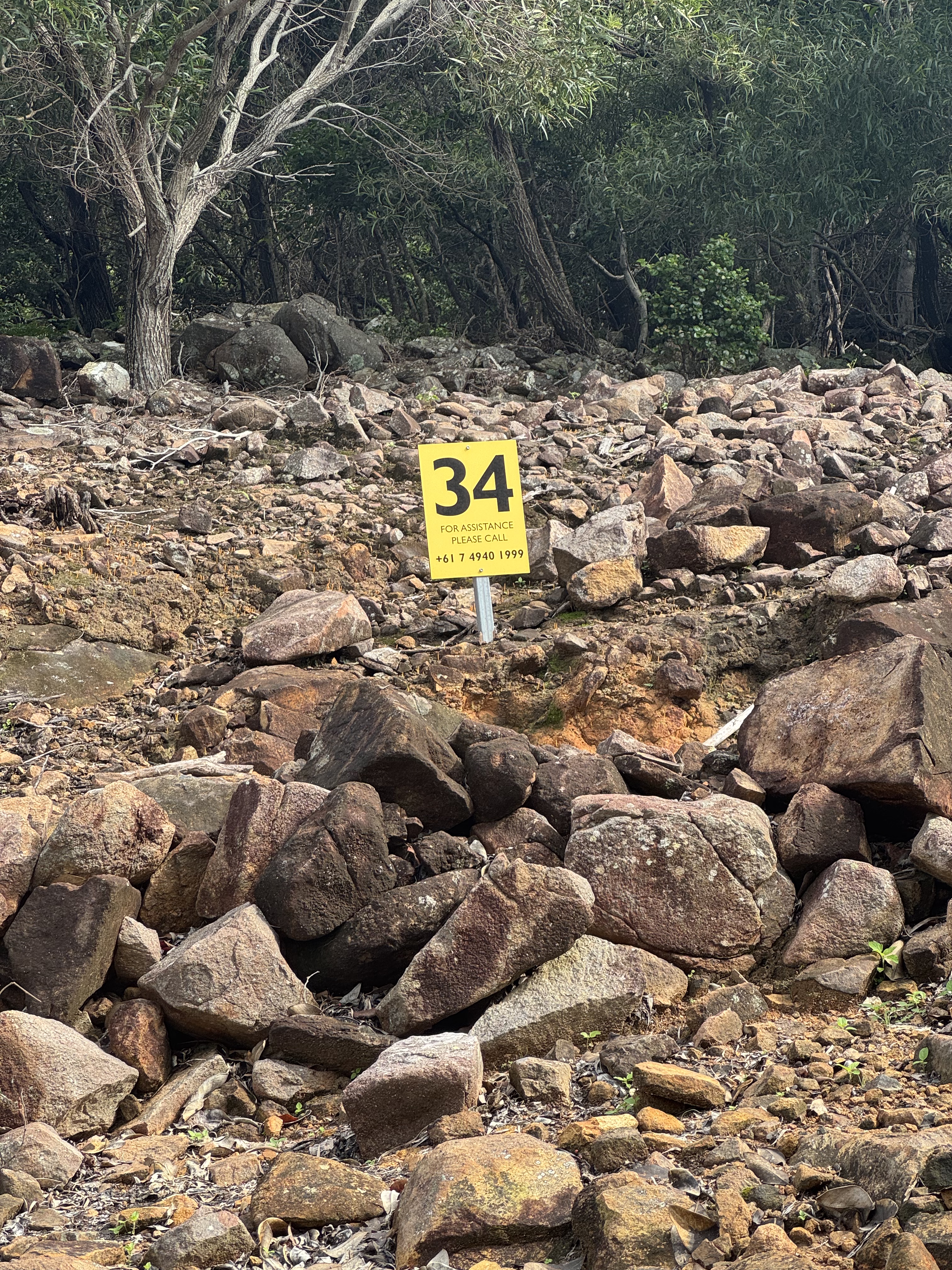
It is requested that you register your walking party with reception, in person or on (07) 4940 1234.
Finally, I recommend packing your own water carrying provisions when holidaying on Hayman with a view to summiting. On arrival you will be issued with a Hayman-branded water bottle, but this likely will not be enough for a comfortable return SOTA trip in tropical Queensland weather. You should carry at least a litre of water per person to remain comfortable.
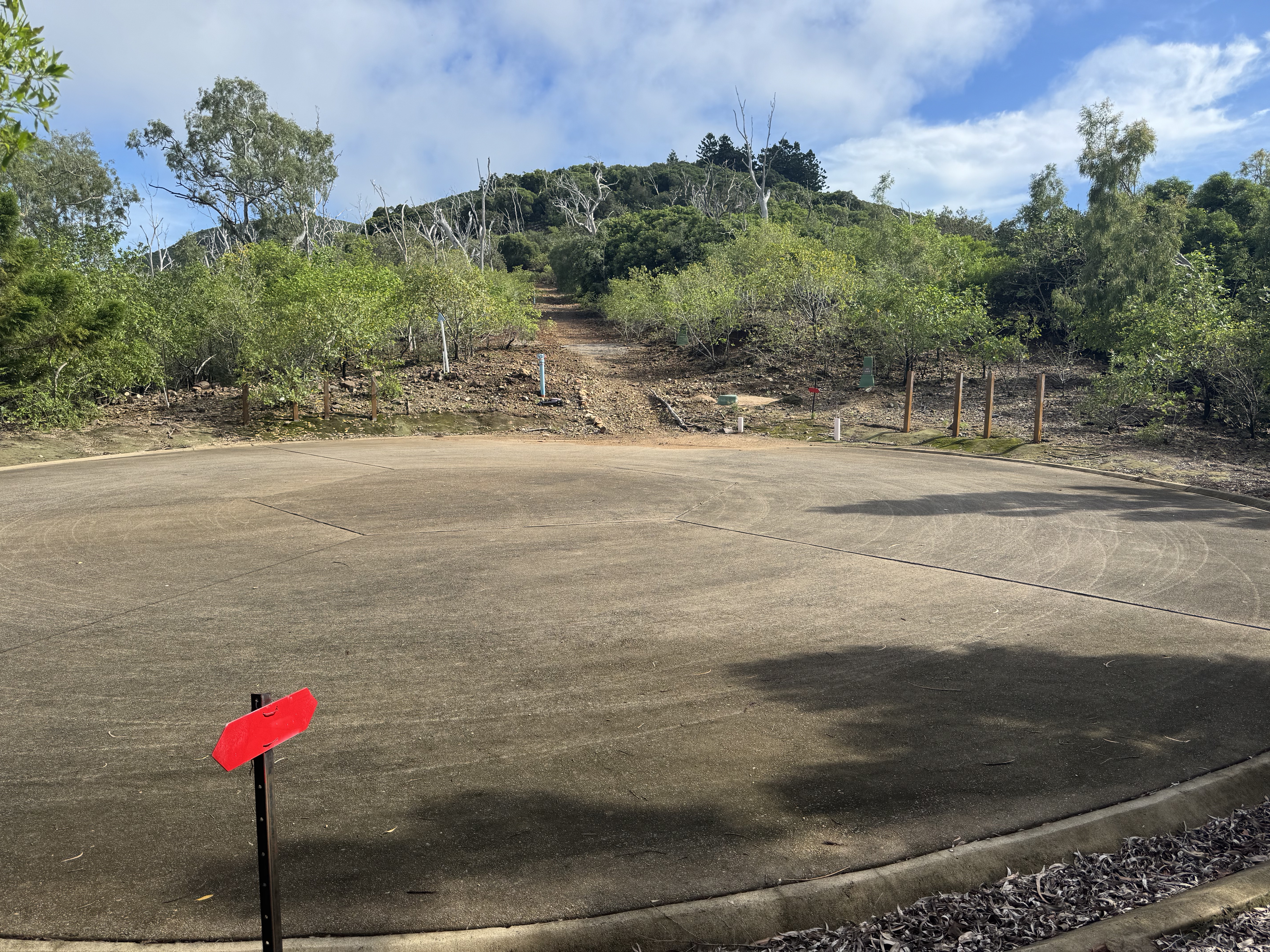
Start of walking track.
Solid footwear is required.
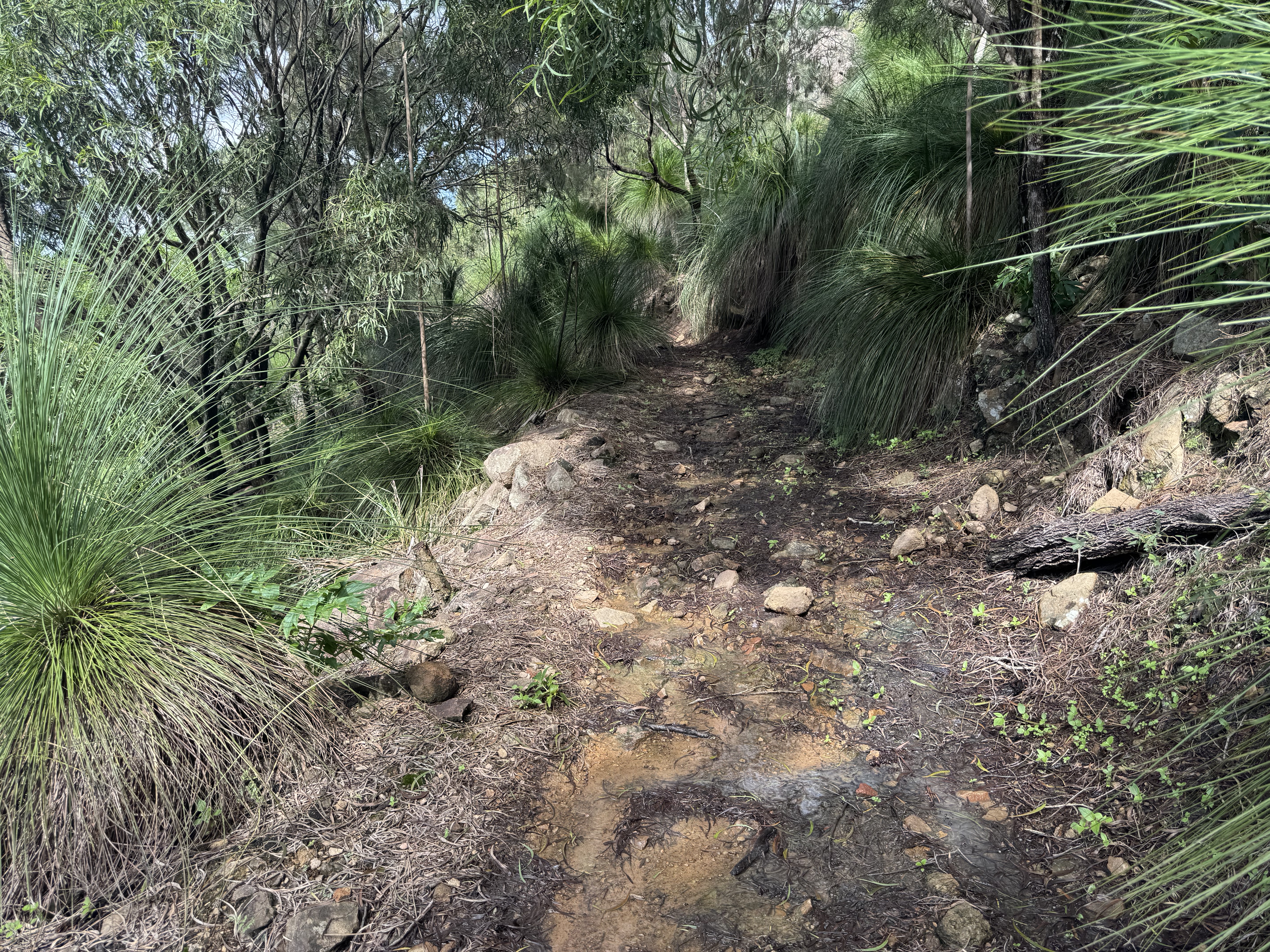
There were a few slightly damp/muddy sections.
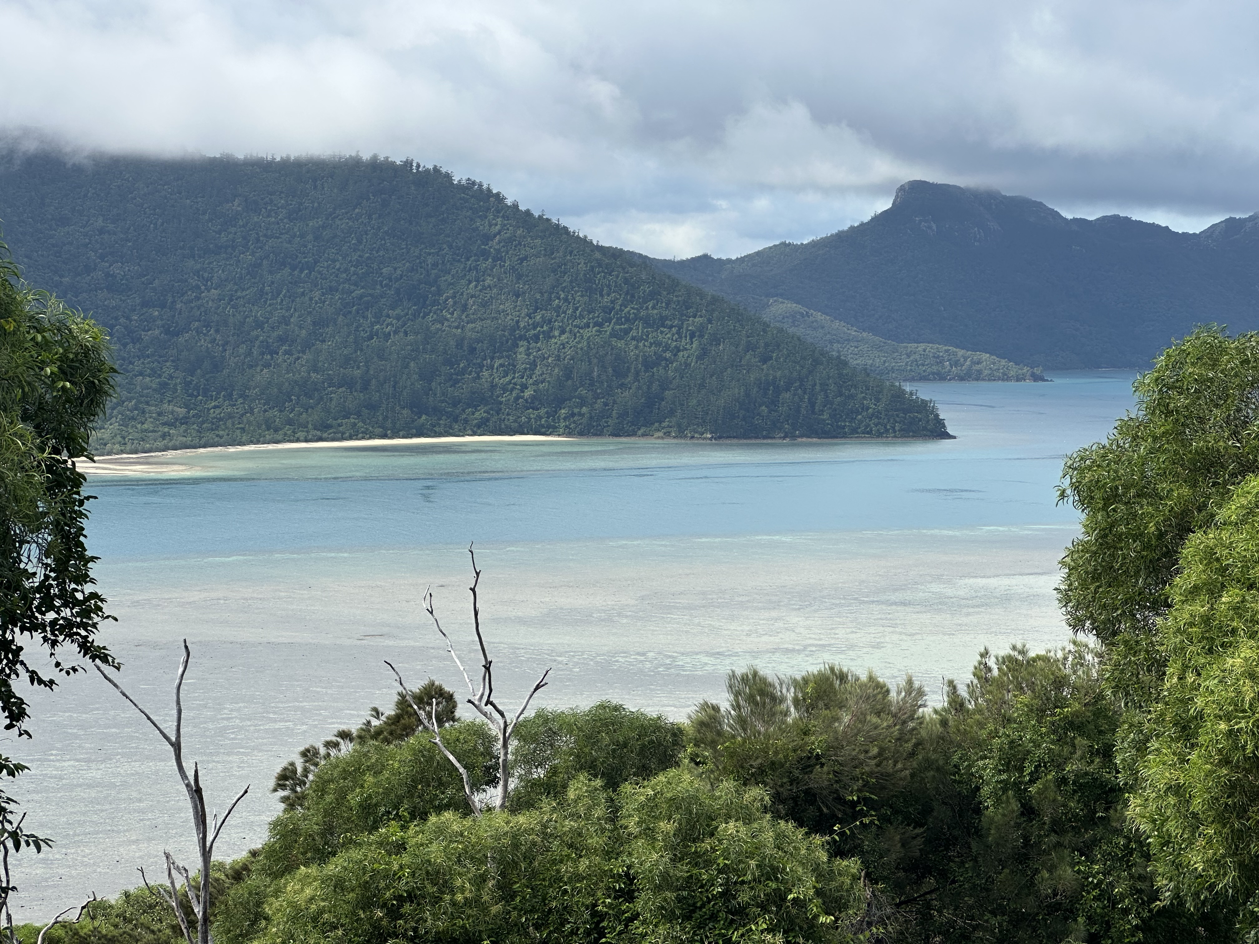
Occasionally the view opens up.
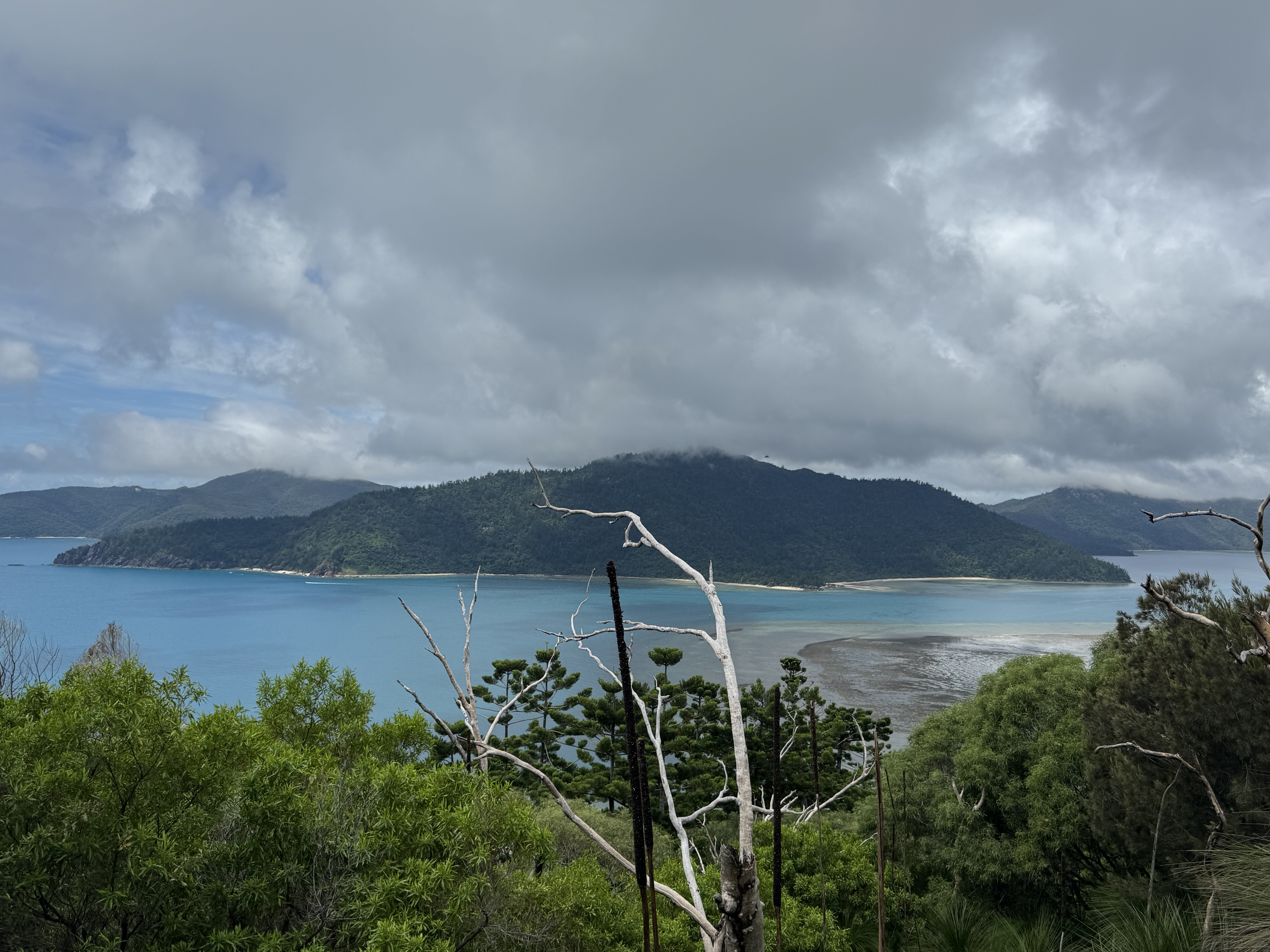
It can be rewarding to catch a glimpse outside of the humid scrub.
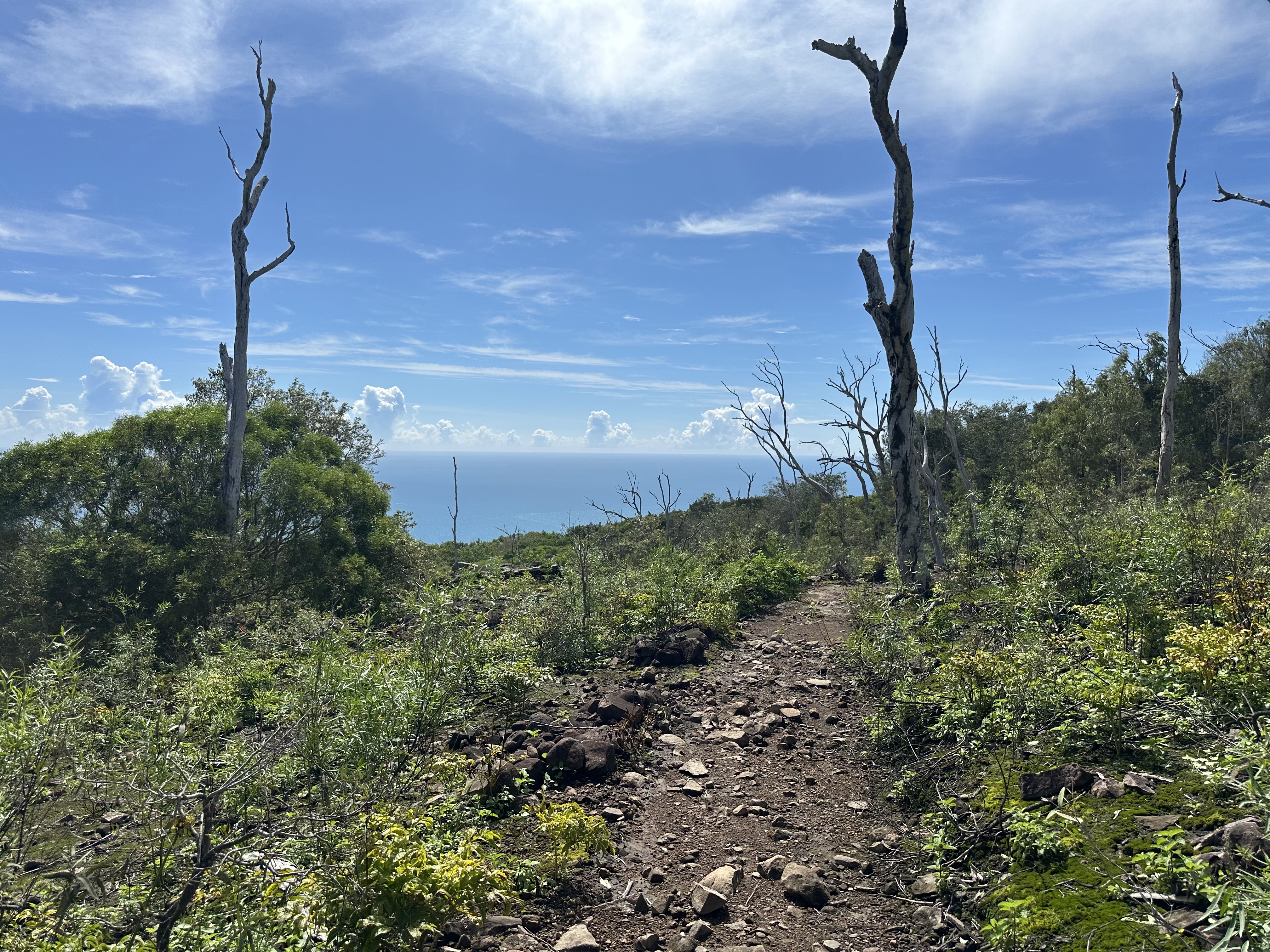
The path opens up and becomes slightly less humid, thankfully.
Contacts
Initially I set up just inside the activation zone, on the northern side of the peak. I struggled for 25+ minutes and did not get any contacts.
I bit the bullet and pushed harder into the scrub, and towards the southern side of the summit. This was more densely packed with trees, one of which almost permanently retained my antenna line. Fortunately once on the southern side, I was able to get some contacts going.
20m was the only band that yielded anything, from my options of 20m and 40m, limited by my linked-dipole antenna. I ran 10W on SSB on the Elecraft KX2, and got understandbly poorer signal reports than I typically do on 40m from VK3. Nevertheless I was endlessly grateful to hear voices coming back to my calls, and successfully activate this summit for the first time.
| Time (UTC) | Callsign | Frequency (MHz) | Mode | Sent | Received |
|---|---|---|---|---|---|
| 06:06 | VK1AO | 14MHz | SSB | 5x2s | 5x2r |
| 06:11 | VK3PF | 14MHz | SSB | 4x3s | 4x1r |
| 06:12 | ZL1HIM | 14MHz | SSB | 4x3s | 3x1r |
| 06:13 | VK2ETI | 14MHz | SSB | 4x2s | 3x1r |
| 06:14 | VK2IO | 14MHz | SSB | 4x3s | 3x1r |
| 06:14 | VK2VW | 14MHz | SSB | 4x2s | 5x2r |
As always, my thanks to all chasers.
Summit Notes
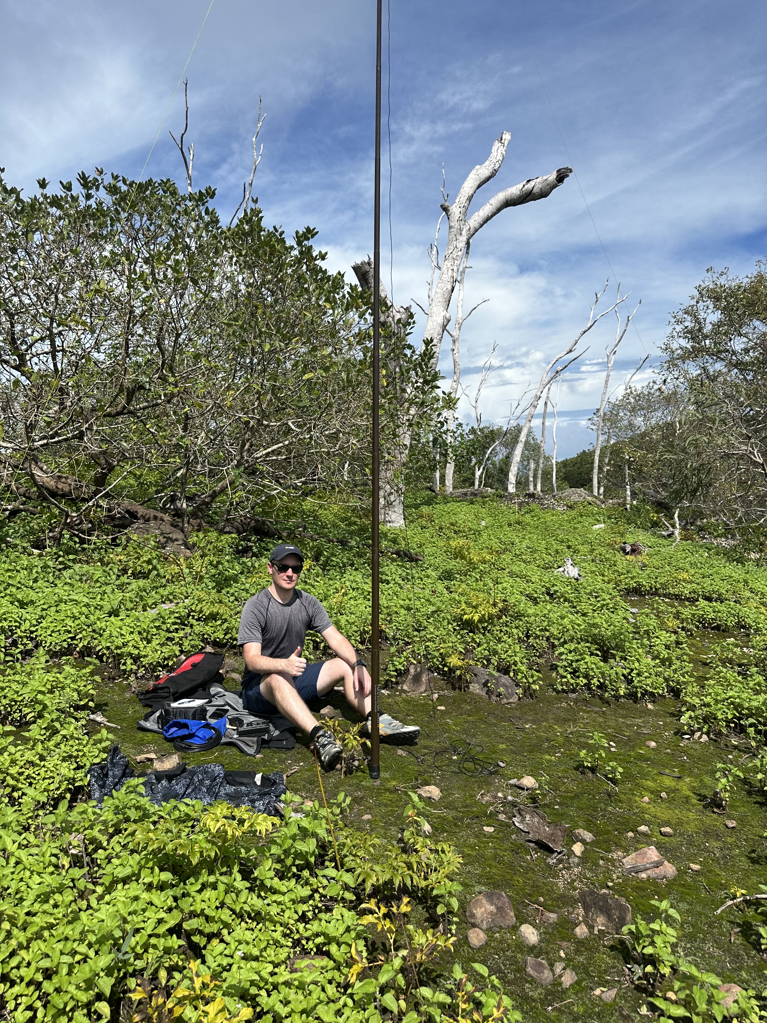
VK3LE at the first shack location.
This summit does not have views at the top, as the scrub blocks any appreciable views down towards the ocean. Low-level bush-bashing was required to go off-track and towards a more suitable summit face and elevation, for the purposes of activation.
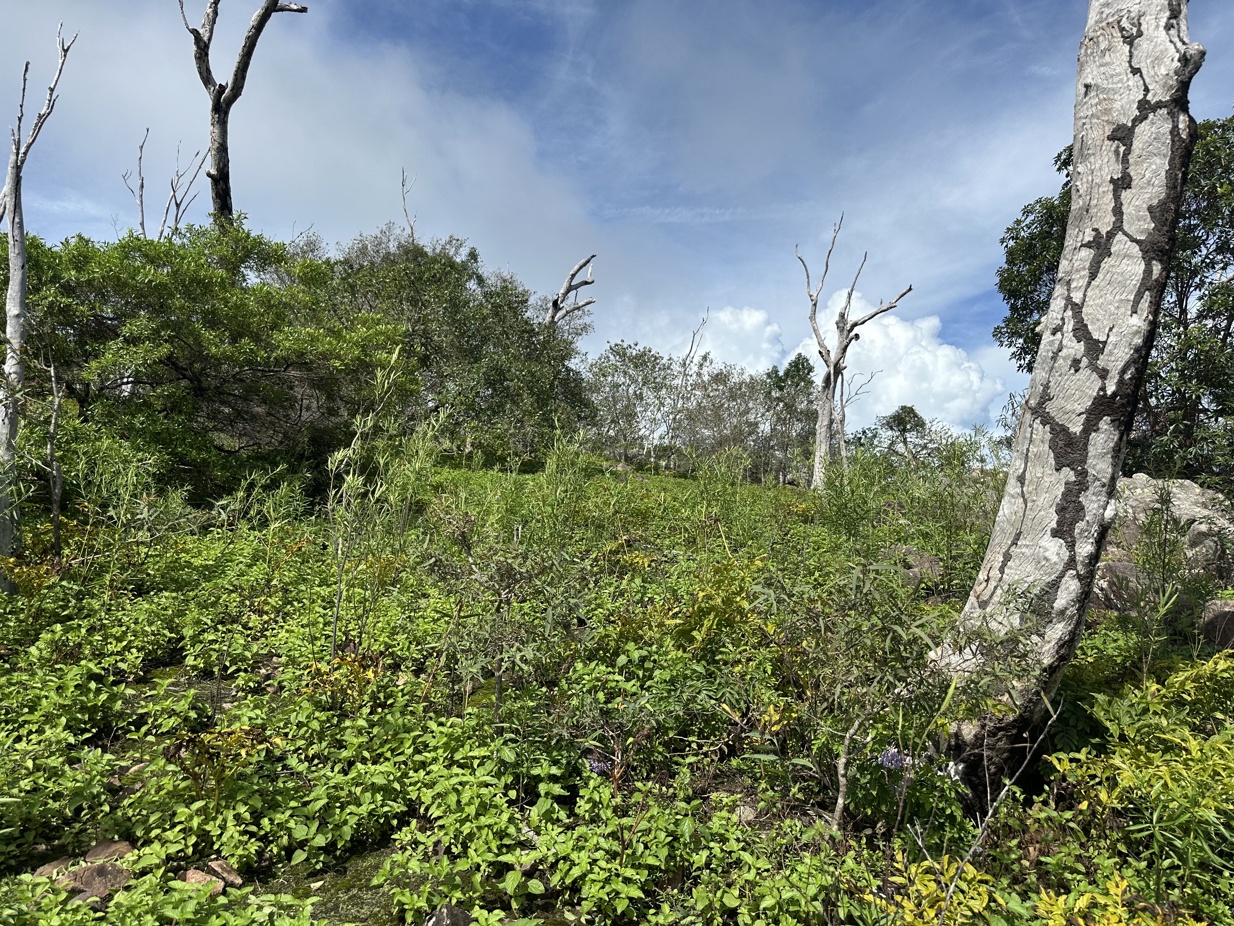
Current level of scrub to be tackled when attempting access to the southern face from the northern side.
Carrying at least 1L of water is suggested, and keeping a careful eye on passing clouds is a must. Any suggestion of a rain forecast would justify bringing along a lightweight, waterproof rain jacket.